|
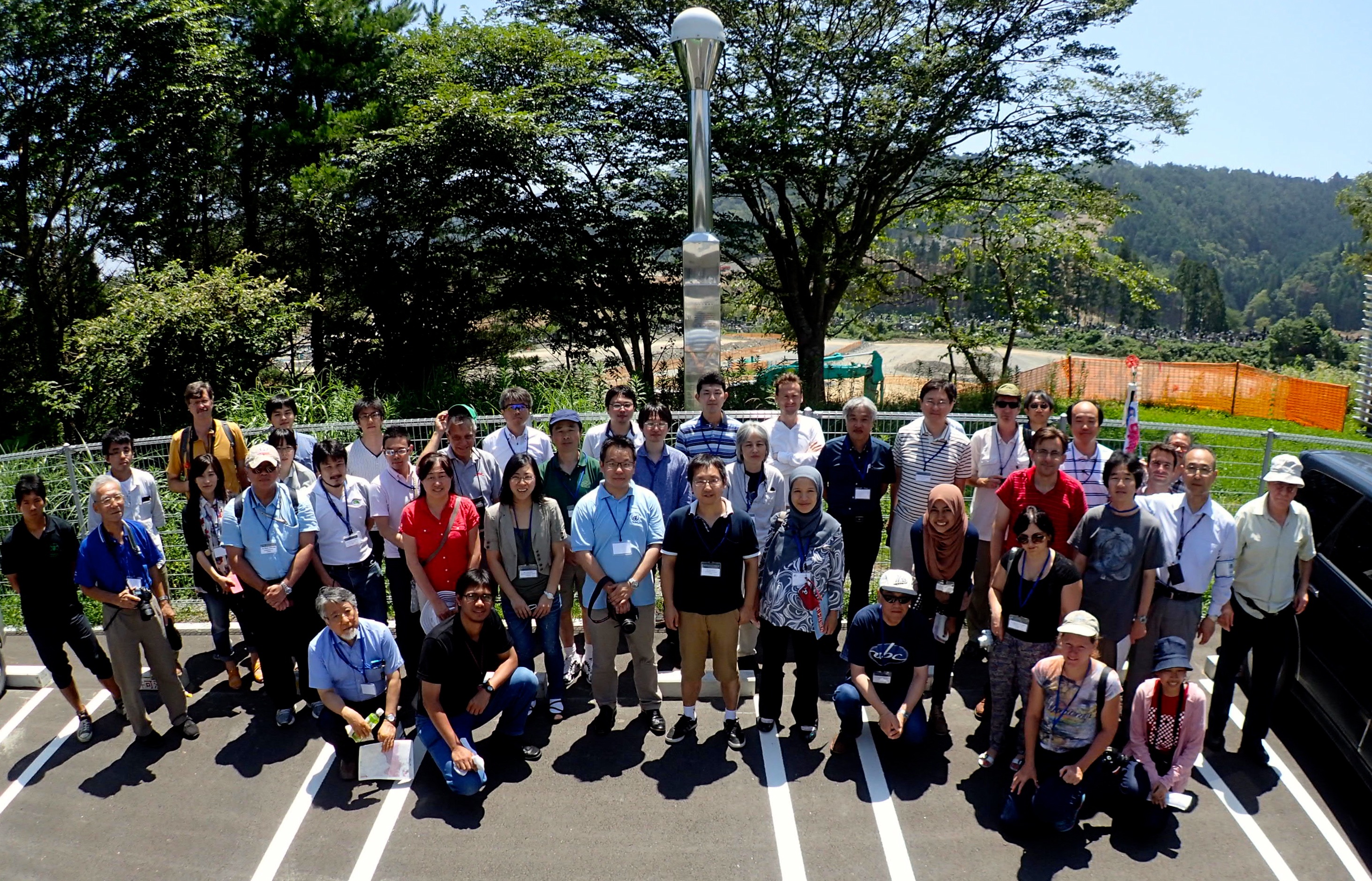
Symposium on Geodesy for Earthquake and Natural Hazards (GENAH 2014)
Location: Matsushima, Miyagi, Japan
Date: 22 - 26 July 2014
Objectives of the Symposium
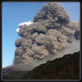
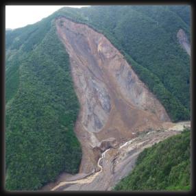
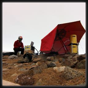
Monitoring temporal and spatial changes in Earth's lithosphere and atmosphere is critical to disaster mitigation. Geodetic techniques, such as GNSS, SAR, satellite gravity missions, etc., have made significant contributions in this regard, and expectation for a greater role of the geodetic community is still growing. Global Geodetic Observing System (GGOS) is one approach to move forward.
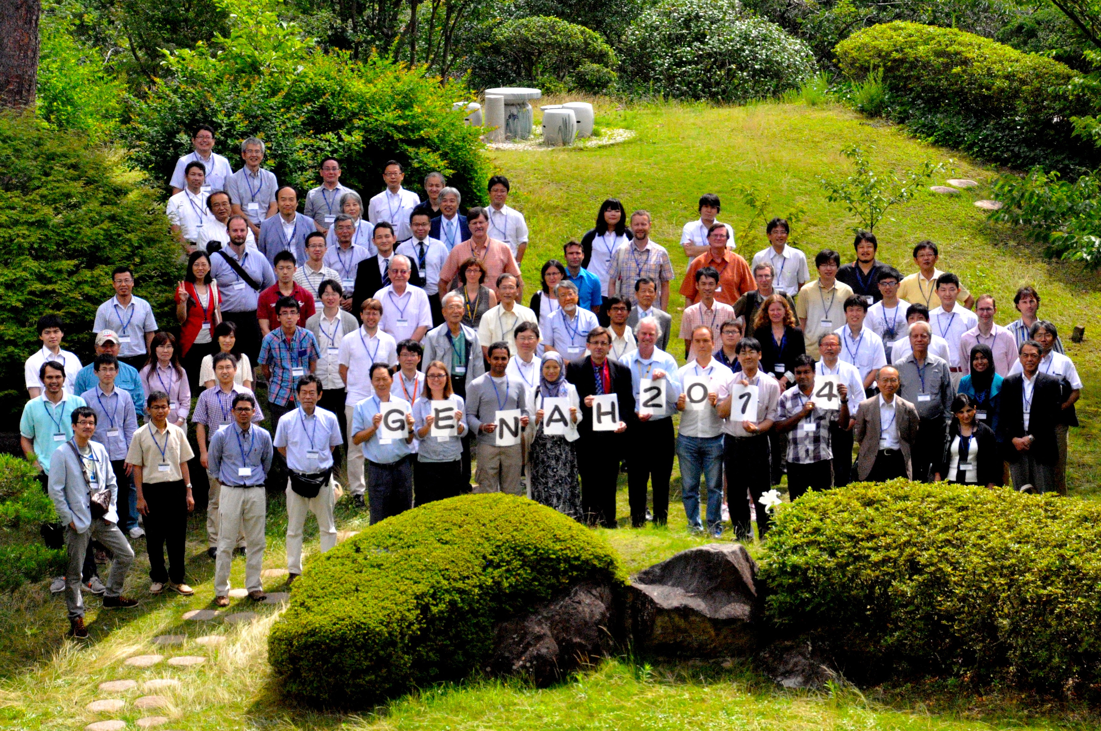
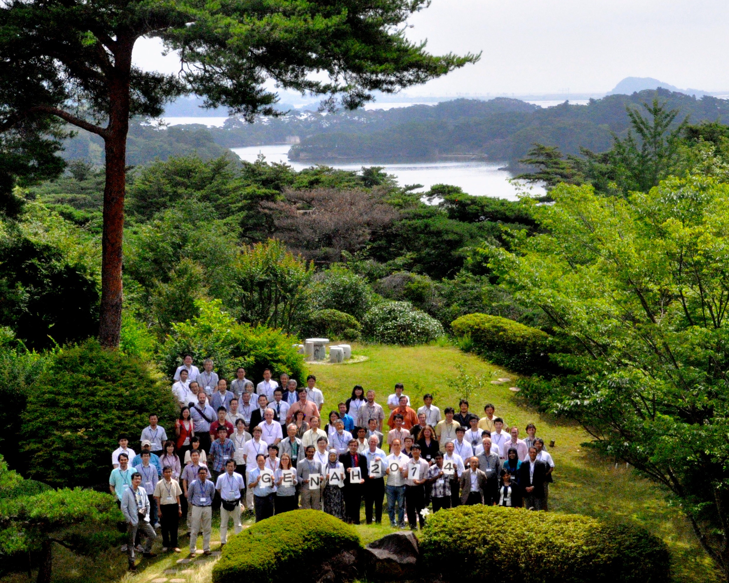
In this symposium, researchers in various fields of geodesy will get together in the Town of Matsushima, northeastern Japan, which suffered tsunami damage in 2011, and discuss the role of geodesy in disaster mitigation and how groups with different techniques can collaborate toward such a goal.
|
|
|
|
• Geodetic satellite systems (GNSS, SAR)
• High rate GNSS
• Emerging new techniques
• Monitoring of gravity change
• Integrated researches of deformations
• Contribution to disaster mitigation
|
|
• Global and regional network
• High resolution imaging (InSAR, Lidar)
• Land-based measurements
• Theory and modeling
• Forecast/evaluation of natural hazards
|
|
|